Project Summary
Overview of the project details and anticipated results
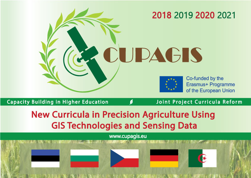
New Curricula in Precision Agriculture Using GIS Technologies and Sensing Data
CUPAGIS is aimed to modernize curricula in precision agriculture using new technologies in physical sciences, such as Geographic Information System/GIS, big data, remote sensing.
This will be achieved by analyzing and updating existing curricula according to educational needs and developing new certified curricula according to the new achievements in the area, the labour market demands and the Bologna Process. The innovated curricula will be tested and the results disseminated.
The CUPAGIS consortium consists of 11 partners, including one associated partner, which are all equipped with the required expertise, educational skills and business connections.
Joint project in higher education
CUPAGIS: New Curricula in Precision Agriculture Using GIS Technologies and Sensing Data
Curricula modernization
Analyzing and updating existing curricula according to educational needs according to the new achievements in the area.
Including latest findings
Developing of new certified curricula in agreement with the labour market demands and the Bologna Process
Based on new technology
Incorporation of physical sciences and technology like GIS, big data and remote sensing.
The set future results are:
- Review of the current curricula in precision agriculture through analysis
- Agreement on instructional strategy and guidelines for BA/MSc curricula design including the use of new Educational Technologies
- A set of new core curricula and transferable modules including innovative teaching facilities
- Updated current two cycle curricula and programs in precision agriculture according to the Bologna requirements and the new developments
- Developed, implemented and accredited new practice-oriented, student-focused core, and transferable curricula including ECTS
- Bringing the Higher Education Institutions of DZ closer to labor market. Besides that innovative teaching facilities: a new equipped laboratory PAGIS, a class VCR, Precision agriculture using sensing data Service Office PASENSO. Focus on the content, agreed structure, new instructional strategy and the use of new educational technologies with regard to the European modernization agenda for higher education will as a whole function as the envisaged impact.